
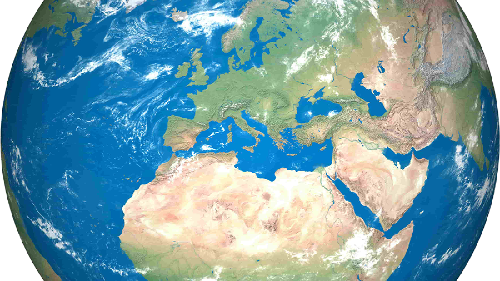
Learning about the world through illustrated maps is one of the gentlest ways to help children understand geography without turning it into a long list of names to memorize.
With educational maps for kids, children can look at a map and see blue oceans, green forests, strange country shapes, animals, mountains, deserts, flags, buildings, and everything that makes the world feel real.
That’s why at Global Edutopia, we believe world geography for kids is best when they can see the world, rather than just hear about it.
Why Do Children Understand Geography Better When They Can See It?
Geography is enormous, and for children, learning about different countries can be challenging unless they learn it in small pieces through examples they can understand. After all, they can’t hold countries or inspect oceans right there in school.
Illustrated maps for kids make those big ideas visible in a way that’s easier to conceptualize.
A plain map may show where Brazil is. An illustrated map might show the Amazon rainforest, bright birds, rivers, and cultural celebrations that might leave an impression. Suddenly, Brazil is not just a name. It has color. It has a place. It has something to remember.
This is why world maps for children can do more than decorate a classroom wall. They can help a child understand direction, distance, continents and oceans, and the simple but powerful idea that every place exists in relation to another place.
North and south stop being invisible. Oceans become spaces between homes. Countries become neighbors, not random shapes floating on paper, and landmarks around the world become actual places with stories and photos, rather than just names.
Why Does a Map Make a Better Starting Point Than a Geography Lesson?
A map lets a child begin with discovery instead of performance. The moment geography becomes a quiz, some children start guarding themselves. They worry about being wrong. They guess. They go quiet.
The world becomes another thing they’re supposed to know before they have been given enough time to wonder about it. Teaching geography through maps changes that.
Maybe they see pyramids and ask where Egypt is. Maybe they find a tiny island and wonder who lives there. Maybe they notice that Africa is not a country, that the Pacific Ocean is enormous, or that countries can share borders, rivers, mountain ranges, and histories.
That’s a much better beginning than memorizing the capitals of places children may not even care about.
Maps make for incredible geography activities for kids because they give children a place to stand. From there, geography lessons for kids can grow into questions about distance, weather, animals, languages, cultures, and other, more challenging topics.
How Can Parents and Teachers Turn Illustrated Maps Into Interactive Geography Activities?
When teaching geography to children, you have to give a map a job, because children do better when they are looking for something, following something, or trying to solve a tiny mystery.
For teachers, illustrated maps can become quick elementary geography lessons without much setup:
- Choose one landmark and find the country, continent, and nearest body of water.
- Pick two countries on opposite sides of the map and trace how someone might travel between them.
- Find three animals and ask what their habitats have in common.
- Choose one country and look up one greeting, one food, and one story from that place.
- Cover the labels and let students guess what clues the illustrations give them.
Parents can keep it even simpler. Let the map live where children can return to it: near the breakfast table, beside a bookshelf, on a bedroom wall. Ask one question at a time. “Where would you go today?” is often enough.
That is how maps can become geography learning resources instead of classroom wallpaper. They give children something to do with their curiosity.
Bringing the World Closer Without Making It Smaller
The goal of global studies for kids is for them to understand the scale of the world and all the wonders in it. It’s to make it feel reachable and interesting enough for them to pursue geography education.
At Global Edutopia, that is the kind of learning we care about: learning that begins with curiosity and grows into understanding. If that is something that calls to you, you can explore our stories, children’s geography resources, and children’s learning materials to help young readers see the world with wider eyes.